
Having just reviewed the wonderful Stuck on Earth app that lets you sample photos taken at any location on the globe, I want to suggest something else that will greatly enhance your photo trip planning here in the U.S.
I’m talking about the Chimani National Parks Guides. While not specifically set up for photographers, they are an invaluable planning and travel aide.
The Chimani apps are free, and there is one for each National Park. Here’s a link to the Chimani Zion National Park app, and from there you can explore all the other guides. There are some in-app purchases with traveller news, but you’ll do fine with the basic apps.
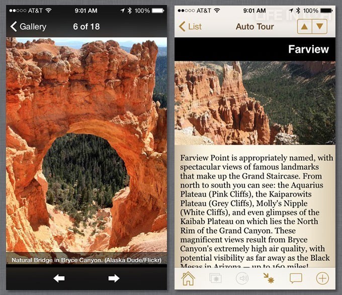
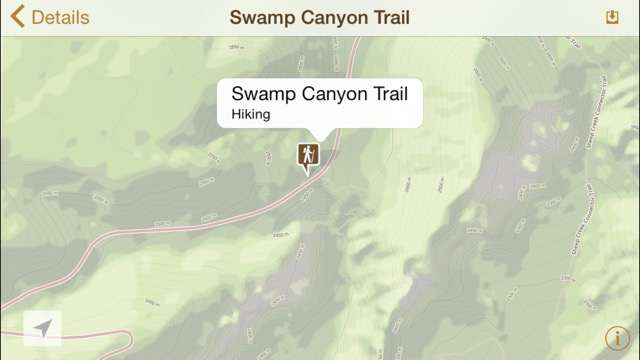
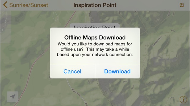
 I’ve tried the Zion and Chimani Bryce Canyon National Park apps, but they all work in the same way. You start with a home screen, and can select a photo gallery, maps, current events at the park, suggestions for auto tours and hiking trails, even emergency info. The maps are sourced from Mapbox and Open Street Maps. They are downloadable for offline use. Any locations can be saved, and you can share locations with others via email or SMS. The app also provides those all-important sunrise and sunset times which are really important for photographers. Another nice feature are audio tours that you start playing from a particular location. It’s like a bus tour without the bus and distracting tourists.
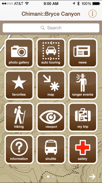
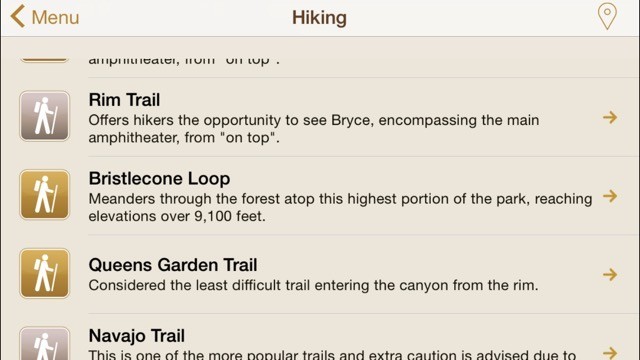
There is plenty of information. The Bryce Canyon version of the app includes 75 photos of the park, with more than 250 points of interest, and 29 detailed write-ups on trails. That’s pretty typical of all the Chimani apps. The app provides rest room locations, and even parking lot and picnic area locations. and you can ask the app where you are and get a GPS plot on the built-in maps.
The app is invaluable for planning, as you can get sunrise and sunset times up to a year in the future. A new tool just added is a clever augmented reality feature called Viewport. Point your camera at locations while you are in the park, and you’ll get background or historical information about what you are seeing. I couldn’t test this since I wasn’t in a National Park, but it’s a great idea.

Chimani is certainly a better idea than printed guidebooks. Interactive maps, location descriptions, photos and those really needed sunrise/sunset times are a nice package for photographers.
I’m hoping to see the app further enhanced for iPhoneographers. Stuck On Earth has no real location information, but a great selection of photos. Chimani guides have barrels of information, but no specific location based photos. That should be easy to add, and it makes sense for Chimani, since what people do at National Parks is take photos. On my last trip to Bryce, I saw very few regular cameras, but a lot of phones snapping away, and the majority were iPhones. I stopped some people and asked if they had abandoned their Canon and Fuji cameras, and most said yes, the iPhone was a great solution, and of course they could share their photos.
I’d also like to see the app work completely in landscape mode. Some parts of the app work fine. Other parts, like the home screen won’t display properly.
Chimani guides really are a photographer’s best friend when planning a trip to a National Park, and really valuable when you are there.
– Mel Martin